
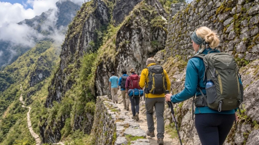

The Ministry of Culture received advanced equipment to strengthen Machu Picchu 3D monitoring and safeguard ancient Inca architecture. Specifically, Japanese cooperation delivered centimeter-precision digital mapping tools and scanners. Consequently, this bilateral partnership reinforces structural conservation across the Historic Sanctuary of Machu Picchu.
High-Precision Scanning and Technological Transfer
The bilateral 3D-SACURA project generated detailed digital twins of tourist trails and Machupicchu Pueblo. Minister of Culture Alberto Beingolea Delgado announced the technical results during an official presentation in Cusco. Furthermore, the initiative was developed alongside the Japan International Cooperation Agency (JICA) and the engineering firm FUTABA Inc.
Technical teams combined several specialized tools to achieve accurate spatial records:
- Aerial Drones: Capturing high-resolution imagery and topography along steep mountain slopes.
- Laser Scanners: Measuring ancient stone walls, agricultural terraces, and architectural joints down to the centimeter.
- Satellite Navigation Systems: Georeferencing critical points across the citadel and the Inca Trail network.
- Preventive Risk Models: Evaluating structural stability and detecting early signs of ground displacement.
This technological upgrade complements existing visitor management strategies and updated Machu Picchu ticket reservation protocols.
Strengthening Heritage Conservation and Andean Research
By comparing digital scans over time, conservation specialists can identify subtle structural shifts before visible damage occurs. In addition, the high-density scans may uncover hidden archaeological remains that do not appear in conventional survey records. The project also encompasses continuous technical training for Peruvian conservation teams, introduced during a seminar at the Regional Historical Museum of Cusco.
The analytical models will extend beyond the main citadel to monitor vulnerable sections along the Inca Trail network. Sustained digital updates will allow authorities to plan proactive interventions rather than reactive repairs. To learn more about bilateral technical cooperation, explore the Japan International Cooperation Agency official portal. Ultimately, this international alliance ensures the preservation of South America’s most iconic heritage landmark for future generations.